
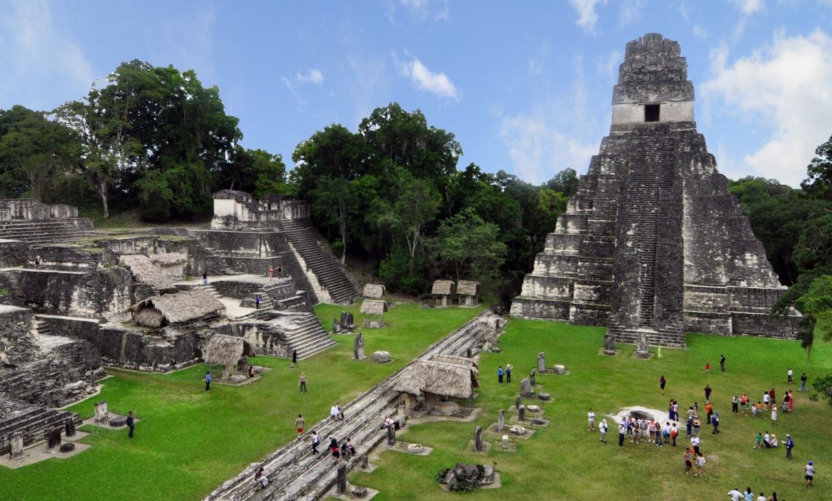
Hundreds of years ago, in the middle of Lake Atitlán, a complex Mayan city settled that built temples, squares, houses and stelae until, suddenly, the same waters that gave it sustenance began to sink it. This is how a submerged archaeological site emerged that is explored by international experts from the Mission of the Scientific and Technical Advisory Council (STAB), of the United Nations Educational, Scientific and Cultural Organization (UNESCO) 2001 Convention on Protection of the Underwater Cultural Heritage.
According to the researchers, this Mayan settlement was inhabited in the Late Preclassic period (400 BC - 250 AD) , which occupied the islet that existed inside the lake, and was later engulfed by the waters that surrounded it.
PUBLICIDAD
Started on March 14 and ended on April 3, the season led by the head of the Yucatan Peninsula Office of the Sub-Directorate of Underwater Archaeology (SAS) of the National Institute of Anthropology and History (INAH), Helena Barba Meinecke, sought to make the site visible through virtual and non-invasive technologies, to promote its preservation and respect for its sacredness for the indigenous communities of the region.
To achieve this democratization of heritage, dives were carried out to geo-reference the archaeological context, requiring data collected in previous years by archaeologists from Guatemala, as well as to create models in photogrammetry and develop virtual tours that bring it closer to the community and external visitors.
PUBLICIDAD
Researchers from Mexico, Belgium, France, Spain, Argentina and Guatemala went to the lake to provide different types of services such as underwater archaeology, who explored for the Guatemalan Ministry of Culture. They also held regular meetings with the leader Nicolás Zapalú Toj, who has the title of 'Senor Cabecera', and with members of the community of Santiago Atitlán.
PUBLICIDAD
This year's explorations allowed buildings, stelae and structures to be relocated and georeferenced, thereby generating a new planimetric map and remote sensing of much of the lake. “With this planimetry we can talk about a site that measures at least 200 by 300 meters,” said Helena Barba Meinecke, highlighting the emphasis placed on information transfer and training to Guatemalan underwater archaeologists, who will be responsible for resuming exploration and research on the lake.
The hypothesis about the collapse of the island is that, since Lake Atitlán is the crater of a volcano that rises more than 1,500 meters above sea level, it could be a natural event linked to volcanic activity that caused the island to collapse from its bottom, at the same time raising water levels and bordering inhabitants to flee. It should be noted that the archaeological site is currently preserved thanks to the vigilance of the inhabitants of Santiago Atitlán and the villages near the lake, and irregular diving in it is prohibited by the Government of Guatemala.
PUBLICIDAD
KEEP READING:
PUBLICIDAD
PUBLICIDAD
Últimas Noticias
Debanhi Escobar: they secured the motel where she was found lifeless in a cistern
Members of the Specialized Prosecutor's Office in Nuevo León secured the Nueva Castilla Motel as part of the investigations into the case

The oldest person in the world died at the age of 119
Kane Tanaka lived in Japan. She was born six months earlier than George Orwell, the same year that the Wright brothers first flew, and Marie Curie became the first woman to win a Nobel Prize

Macabre find in CDMX: they left a body bagged and tied in a taxi
The body was left in the back seats of the car. It was covered with black bags and tied with industrial tape

The eagles of America will face Manchester City in a duel of legends. Here are the details
The top Mexican football champion will play a match with Pep Guardiola's squad in the Lone Star Cup

Why is it good to bring dogs out to know the world when they are puppies
A so-called protection against the spread of diseases threatens the integral development of dogs


